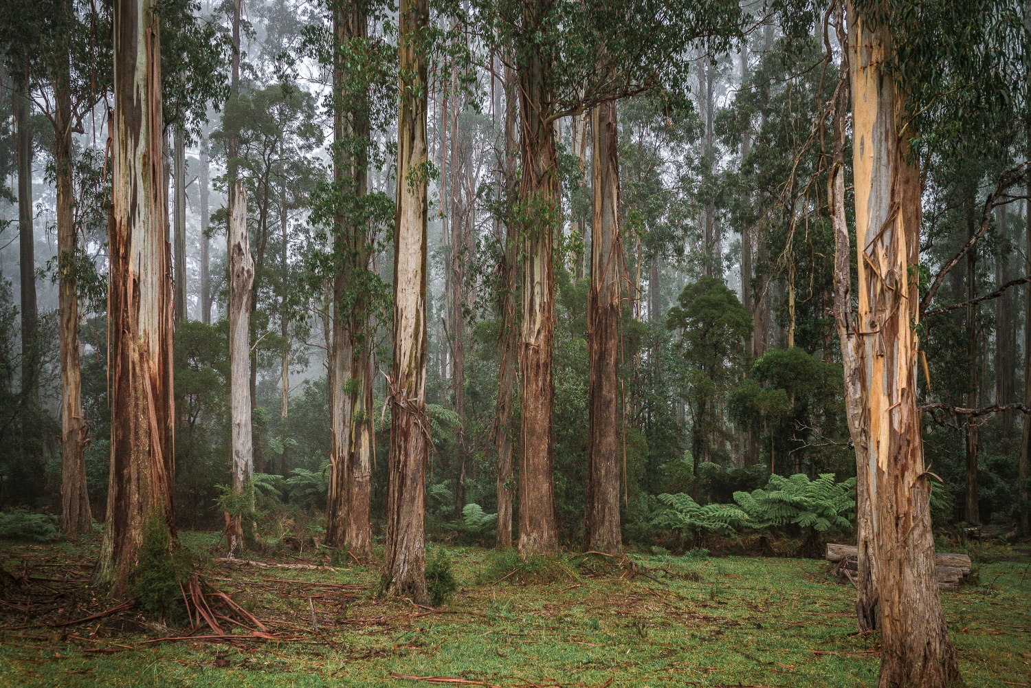
EVERYTHING YOU NEED TO KNOW TO PLAN YOUR VISIT TO THE DANDENONG RANGES NATIONAL PARK
The Dandenongs wouldn’t be what they are without the Dandenong Ranges National Park. The national park is in fact a series of forests and bushland areas that stretch right across the hills and are interconnected by a series of walking tracks interspersed with the quaint little townships and residential areas that make up the region. When I first think of the national park I think of the soaring Mountain Ash gumtrees with glades of ferns below them but they are so, so, so much more. I feel beyond blessed that I get to photograph families in these epic surrounds and that I am the first photographer in Victoria to be licensed by Parks Victoria to do so.
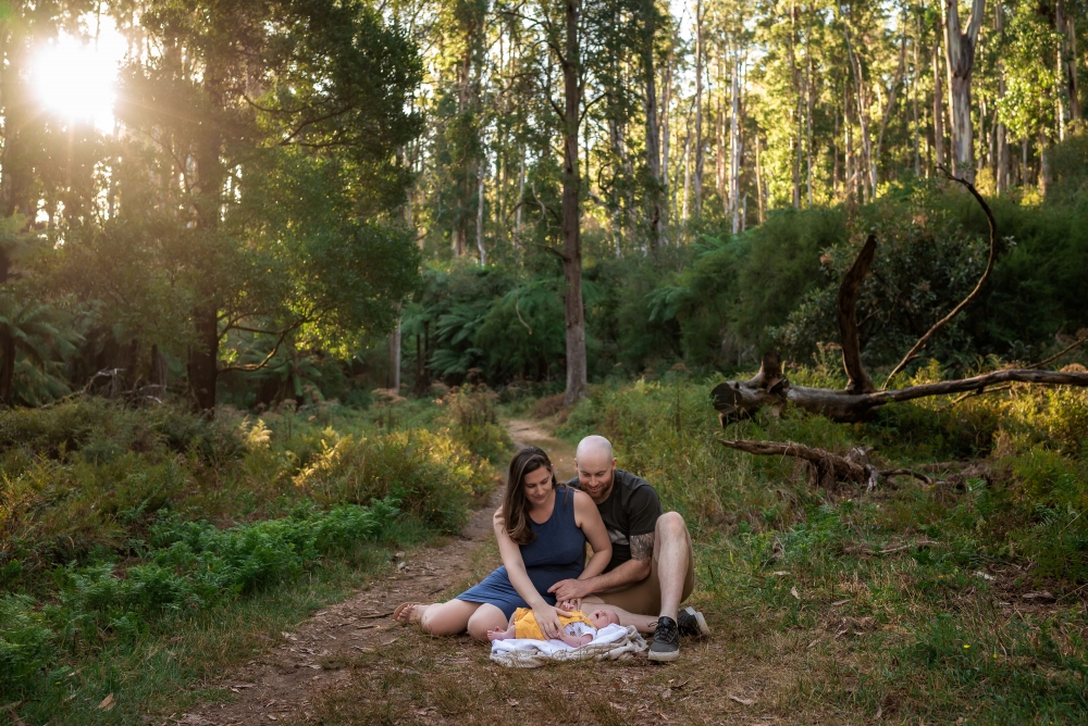
HISTORY OF THE DANDENONG RANGES NATIONAL PARK
The forests of the Dandenong Ranges National Park are over 150 million years old and reach a peak height of 633 meters at Mount Dandenong. The forests are home to lyrebirds, wombats, wallabies, kangaroos, echidnas possums and beautiful parrots. In 1882, the earliest sections of the park near Ferntree Gully were established. In December 1997, the Dandenong Ranges National Park was proclaimed. This amalgamated Ferntree Gully National Park, Sherbrooke Forest and Doongalla Estate. In 1997, Olinda State Forest, Mount Evelyn and Montrose Reserve were added to the national park.

GETTING TO THE DANDENONG RANGES NATIONAL PARK
The Dandenong Ranges National Park is open every day is about 40 kilometers east of Melbourne. It can be accessed by car from multiple entry points including along the Burwood Highway, Ferntree Gully from the east and Belgrave-Hallam Road from the south. The nearest train stations are those at the end of the Belgrave and Lilydale lines. From Upper Ferntree Gully Station it is an 800 meter walk to the picnic ground at Ferntree Gully and 1.4km to the bottom of the renowned 100 Steps Walk. From Belgrave Station it is 1km to the park boundary and the Coles Ridge Track and 3km to walk to Grants Picnic Ground. There are a number of public buses the run daily services on multiple routes through the Dandenongs. Bus route 688 runs between Croydon Train Station and Upper Ferntree Gully Station.
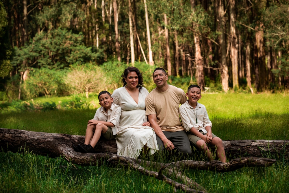
AREAS WITHIN THE DANDENONG RANGES NATIONAL PARK
The Dandenongs Ranges National Park covers 3,540 hectares (8,700 acres) and at its widest is point is 14 kilometers across. As a result of its size and the varied terrain, which is interspersed with homes and villages, the parks is divided into a number of sections.
OLINDA
The Olinda portion of the National Park lies east of the Mount Dandenong Tourist Road. At the southern end it borders the Parks Victoria managed Dandenong Ranges Botanic Gardens (formerly the National Rhododendron Gardens) and the R.J. Hamer Arboretum. It spreads to the north, beyond Silvan Reservoir which is further east, all the way beyond Kalorma. Major features of this area of the park include Olinda Falls and views to the north across the Yarra Valley. There are BBQs, toilets and picnic tables at Kalorama Five Ways Lookout, Valley Picnic Ground, Olinda Falls Picnic Ground and Silvan Reservoir Park.
DOONGALLA
The Doongalla area of the Dandenong Ranges National Park lies west of the Mount Dandenong Tourist Road. It is tucked in below the ridge lines of Mount Dandenong and spreads down to where it borders suburbia at The Basin. Major points of interest in this area include the old Doongalla Homestead site, Burkes Lookout where you can see the city and watch the sunset, the site of the Kyeema plan crash and the Mount Dandenong Observatory. There are many walks through the park, including some of the steepest it has to offer.
SHERBROOKE
The Sherbrooke section of the National Park lies to the south. It lays east of the main tourist road and is bordered by Sherbrooke Road and Grantulla Road to the north, with the hamlet of Kallista tucked into its border. It includes Sherbrooke Falls and Grants Picnic Ground which is one of the most visited sections of the park and where a main Parks Victoria Tourist Information site is located. Welch Track at the very southern edge of the parks runs in close proximity to Puffing Billy and the famed Kallista Dragons nests can be found along Neumann Track. BBQs, toilets and picnic tables are located at Sherbrooke Picnic Ground, O’Donohue Picnic Ground and Grants Picnic Ground.
FERNTREE GULLY
The Ferntree Gully sector of the Dandenong Ranges National Park is border by Burwood Highway on its southern side. It is an extremely steep area and the spot most frequented by those seeking the fitness challenge of the 1000 steps walk. It is also within walking distance of public transport so is a natural magnet for visitors. There are amenities at the base of the climb at Ferntree Gully Picnic Ground and at the summit at One Tree Hill Picnic Ground. The area has become more and more popular and parking spaces can be in short supply on weekends. Visitors should obey signs and only park in designated areas as Parks Victoria and Victoria Police regularly patrol the area to ensure it remains safe and open as it is one of the major egress points off the mountain so it is imperative that it remains clear in the case of an emergency.
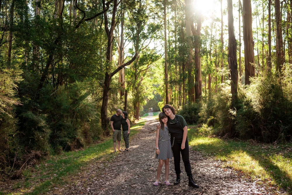
BEST FOR KIDS
The entire forest is honestly a wonderland for children to explore but a particular favourite is the Dragons Nests at Kallista which have become so popular that more have popped up throughout the park, many built by local families and nature playgroups. The Kallista nests are located off Neumann Track which starts opposite 33 Grantulla Road, Kallista
BEST FOR SUNRISES
The best spot to observe sunrise is from Kalorama Park lookout and from the higher peaks within the Olinda area of the park.
BEST FOR SUNSETS
The best spots to view sunset are within the Doongalla area, namely Mount Dandenong and Burkes Lookout.
THE SEASONS
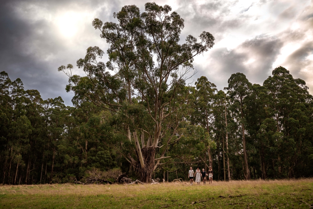
The Dandenongs are typically 3-5 degrees cooler than Melbourne making them the perfect place to escape the summer heat. Autumn is peak visitor season for the hills with people flocking to area to see the colourful foliage in the streets and public gardens that are sprinkled amongst the National Park (which itself doesn’t change much at this time of year). Winter in the area is magical with foggy conditions being the norm and a peace descending over the area. The waterfalls are at their best at this time of year. In Spring wildflowers appear, both in the forests and gardens of the area.
AMENITIES WITHIN DANDENONG RANGES NATIONAL PARK
Public toilets are available adjacent to many carparks throughout the park. There are also a number of designated picnic areas throughout the park. Many provide wood or gas fired bbqs and picnic tables or you can bring a blanket and pick any spot you like. Please ensure you use the rubbish bins provided or, if none are available, take your rubbish home.

DOGS AND HORSES
Given the flora and fauna within the park dogs are not allowed within the Dandenong Ranges National Park. Assistance dogs are permitted and welcome. Horse riding is allowed along 22km of designated riding tracks which aer signed with the horse riding symbol and brown markers.
PEST SPECIES AND INVASIVE PLANTS
Sambar deer have become increasingly prevalent in the hills and have a major impact on the vegetation and waterways. At times authorised shoots are held to manage the challenge the deer present and visitors must adhere to posted safety notices. Likewise control practices are often in place to manage other pest species such as foxes that negatively impact on small mammals and birds like the lyrebird. Invasive plants are at times treated and visitors should take note of any warning signs which have been posted.
ACCESSIBILITY
Whilst much of the national park is unsealed and hilly there are some short, sealed walks which are perfect for those in wheelchairs or with mobility issues. These include at Grants Picnic Ground which has designated disabled parking bays and toilets and the purpose built Margaret Lester Forest Walk which is 200 meters long and asphalted and runs through the forest adjacent to the carpark. This project was designed with helps from Margaret Lester who is both a paraplegic and architecture graduate. In the middle carpark, right by the disabled parking bays, there are picnic tables which are square with an open side to allow wheelchair users to be seated at the table.

WHEN YOU SHOULD STAY AWAY
The Dandenong Ranges National Park is in the Central fire district. It is closed on days of SEVERE Fire Danger Rating or if there are strong winds. Given the windy, narrow nature of the hills roads it is important that visitors exercise common sense and avoid the area during or after times of extreme weather events so that emergency services and locals can safely move through, and if necessary evacuate, the area. Outside of these times locals love to warmly welcome you to our beautiful corner of the world. Check the Parks Victoria website for the latest closures, warning and conditions.
WHAT ELSE IS NEARBY
Of course the Dandenongs offers more than just picnic spots and bushwalks in the National Park. There are a range of publicly owned and managed gardens to explore and if they leave you inspired there is a number of retail nurseries dotted throughout the hills. There are many specialty stores in the villages of Sassafras, Kallista, Belgrave, Mount Dandenong and Olinda as well as flagship playgrounds at Olinda and Belgrave. And of course no mention of the hills would be complete without referencing Puffing Billy and the range of other train related attractions in the area.
PHOTOSHOOTS
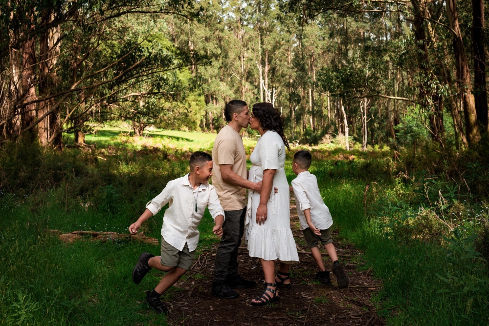
I regularly photograph newborns, families and extended families in the Dandenong Ranges National Park, being licensed by Parks Victoria to do so. If you are interested in having a session there or at any of the other beautiful spots in the Dandenongs please get in touch, I’d love to work with you.

I really like your writing style, superb information, appreciate it for posting : D.
Way cool! Some extremely valid points! I appreciate you penning this article plus the rest of the site is very good.
The way the author connects ideas is very effective.